Geologycal Services
Exploration is the stage of mining business activities to obtain detailed and thorough information about the location, form, dimensions, distribution, quality and measurable resources of minerals, as well as information on the social and environmental environment. Exploration is divided into preliminary exploration and detailed exploration.
Geological Survey
In the preliminary exploration, a literature study was carried out with using existing references in the area. Next conducted a review survey consisting of regional geological mapping, remote sensing, outcrop data collection or rock mapping mining commodity carrier. After conducting the survey, prospecting is carried out that describes the local geological conditions research area supported by data and documentation field and interpretation of regional geological maps regarding presence of mineral and coal deposits
Drilling
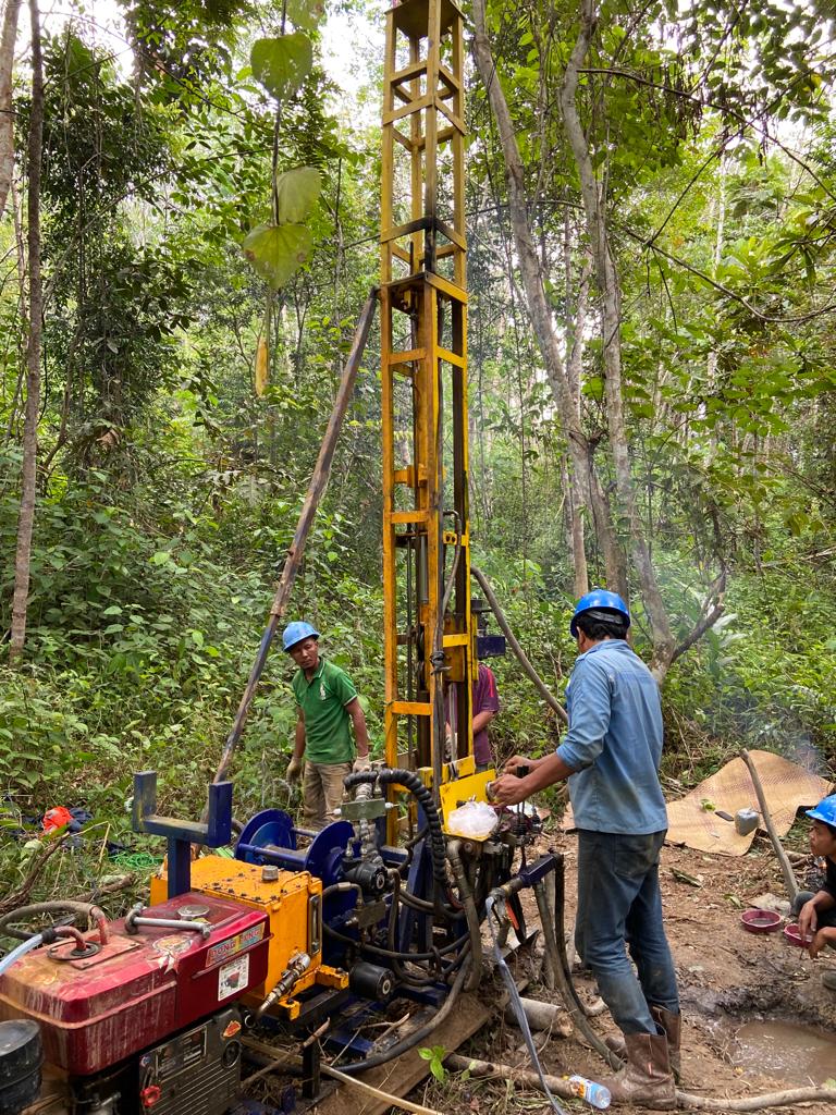
Drilling was carried out to determine the subsurface lithology resulting from a follow-up survey of outcrops and surface mapping that had been carried out. Drilling is carried out according to SNI 5015;2019 standards. The drilling activities can be carried out by several methods, namely, Full Coring, Touch Coring, and Open hole
Geophysics Logging
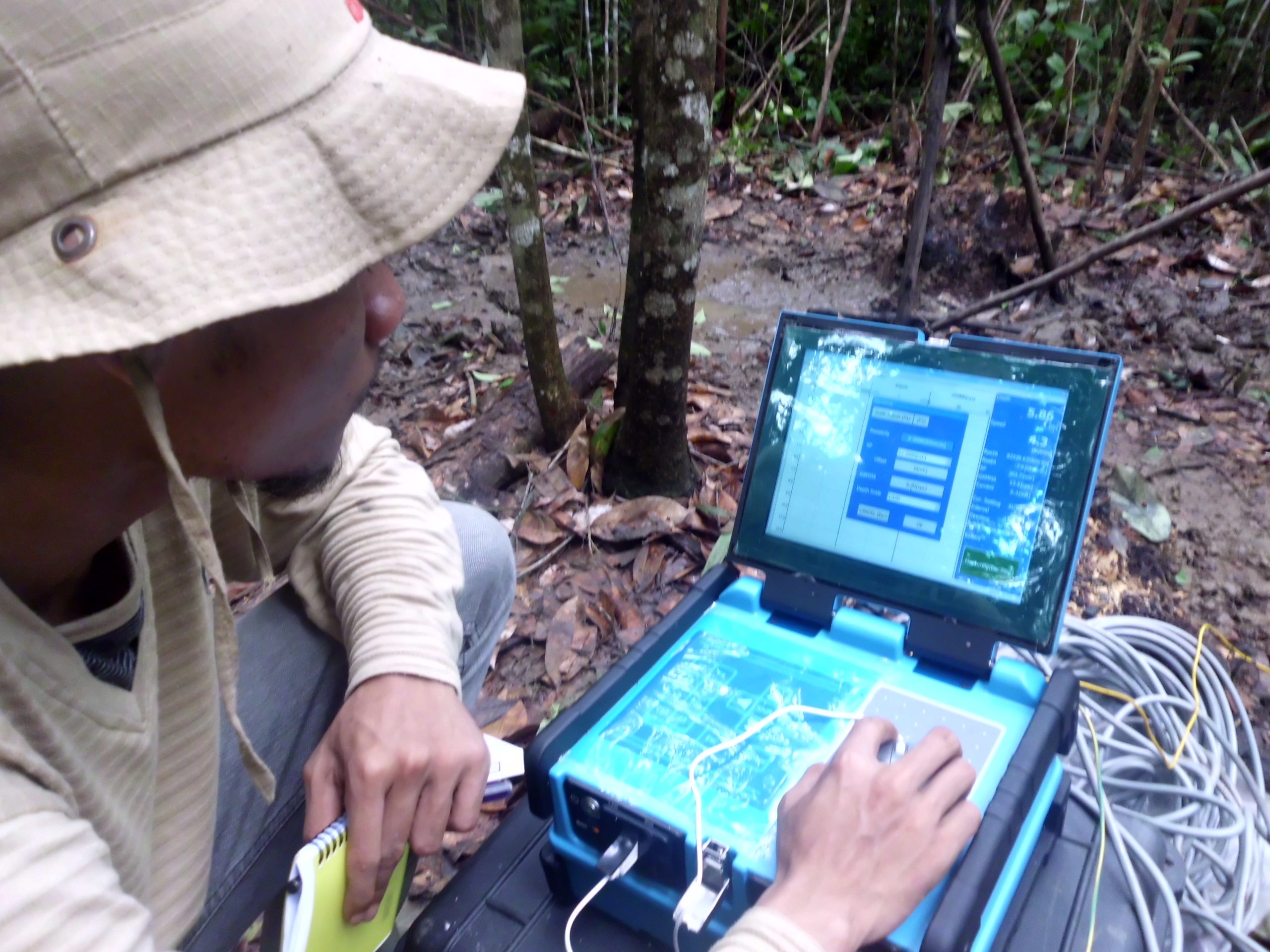
Well Logging is a drilled cross section method that records the physical properties of “in situ” rock in the form of a deflection curve by lowering a detection device into the borehole, such as: gamma ray sensors, density, neutrons, resistivity. and calipers
Geotechnical Studies
Geotechnical is one of many tools in mine planning or design. Based on the Decree of the Minister of Energy and Mineral Resources of the Republic of Indonesia Number 1827 K/30/MEM/2018 concerning Guidelines for the Implementation of Good Mining Engineering Rules, mining geotechnical is the technical management of mining which includes investigation, sample testing, and geotechnical data processing as well as the application of geometry recommendations and dimensions of mine openings, and monitoring of slope opening stability.
Hydrogeology & Hydrology Studies
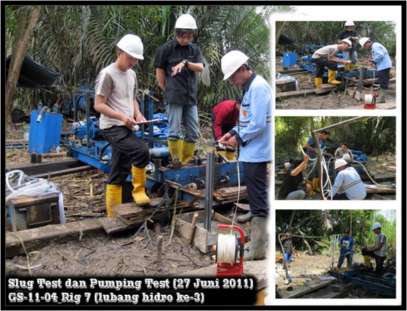
Hydrogeological study is an analysis of the presence and characteristics of groundwater and its relationship to rocks, in the form of physics, chemistry, or a combination of both. These characteristics are also influenced by the type of rock, the slope of the rock, the composition of the rock, so that it can reflect the quality of the water.
Geochemical Studies
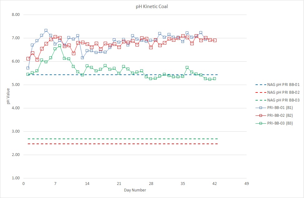
Geochemical study is a study that focuses on the chemical content of each rock lithology located at the mine site that has the potential to cause acid mine drainage and provides recommendations for countermeasures for acid mine water. and this study is also important in PAF/NAF modeling.